WSI / AP File
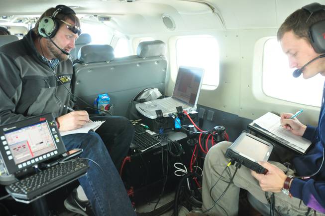
In this photo taken in October 2012, released by WSI, a Quantum Spatial Company, sensor operators Lennie Rummel left, and Drew Wendeborn, right, are shown inside a helicopter taking measurements with LIDAR, a high-tech laser system mounted on the aircraft, to build a detailed elevation map of the terrain above Omak, Wash. The maps can be used by planners and homeowners to begin to assess landslide risk.

- Locally owned and independent since 1950; Winner of the Pulitzer Prize for Public Service, best news website in the nation & DuPont Award for broadcast journalism