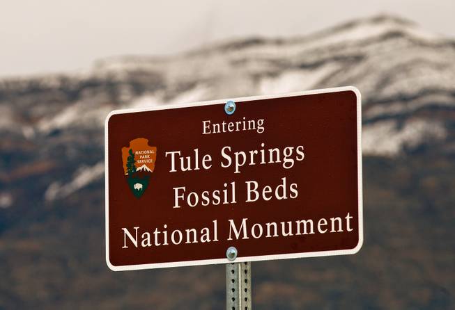
Signs now mark the Tule Springs Fossil Beds National Monument with more to come on Wednesday, November 4, 2015.
Thursday, July 13, 2023 | 2:30 p.m.
Clark County residents decried the proposed path of power lines through the Tule Springs Fossil Beds National Monument, and environmental advocates said the Bureau of Land Management was downplaying the environmental impact during a public meeting.
NV Energy’s $2.5 billion proposal, Greenlink Nevada, consists of two transmission lines.
Greenlink West would span 350 miles from Reno to Las Vegas, and Greenlink North would run 235 miles from Yerington to Ely.
The two branches would link up to an existing transmission line that runs from Robinson Summit in White Pine County to Las Vegas.
“This creates a network, if you will, of power that can go either direction throughout the state,” said Greg Helseth, renewable energy branch chief for the BLM’s Reno office. “Then there’s another transmission line on the easterly side that goes down to Harry Allen Smith, so it’s almost like one big triangle.”
The triangle cuts through land managed by the BLM, the Department of Defense and the Nevada Division of State Lands.
A crowd gathered at the Aliante casino in North Las Vegas on Tuesday to learn details from the BLM’s environmental impact statement on the project and to provide public comment. The comment period will remain open until August.
The various bureaus and entities that control the land proposed 22 alternative routes for the transmission lines, most of which NV Energy rejected in the final version.
Patrick Donnelly, Great Basin director of the Center for Biological Diversity, said the BLM’s approach to the cumulative impact analysis in the environmental impact statement and included with the application for the Greenlink project was “wholly inadequate and duplicitous.”
“This ruse that has been maintained all along is that the purpose of Greenlink North is to move energy around, not to open up plans for renewable energy development,” Donnelly said.
Donnelly said if the Greenlink project is approved as-is, its true impact will come from hundreds of thousands of acres of renewable energy development along its length, not just the transmission line.
“Renewable energy development in Amargosa Valley and Esmeralda County is not going to happen but for Greenlink West,” Donnelly said. “That is the only way those solar energy projects are going to happen, so BLM is absolutely required to analyze the impacts of hundreds of thousands of acres of renewable energy development.”
The transmission line as proposed would run through part of the Tule Springs Fossil Beds National Monument, also called TUSK by the National Parks Service. Helseth said 11 transmission poles with cement bases would run through the site near Moccasin Road, about five feet into the national monument.
“We’re not destroying Tule Springs, we’re biting into it,” Helseth said. “We’ve done paleontological surveys; we’ve done plant surveys; we’ve done horse surveys.”
Helseth said BLM conducted radar surveys of the area and found some “anomalies” underground, but the 11 transmission poles won’t be on top of those areas in case there are more fossils.
Kevin Emmerich, co-founder of the nonprofit Basin and Range Watch, said his organization opposes the project because the 11 poles will damage significant fossils.
“I don’t know how that’s going to be resolved,” Emmerich said.
During the meeting, Clark County residents took issue with the impact the project could have on the national monument.
Kayla Skaggs, who said she spoke on behalf of about 400 homeschooling families in the Las Vegas Valley, said national parks and monuments are crucial learning opportunities for homeschool students.
Alternative G would loop around Tule Springs, which would add 70 miles and $70 million to the project. Another alternate route, Alternative F, would have cost an additional $53 million.
The Greenlink project also calls for building new stations at Amargosa, Esmeralda and Fort Churchill.
Emmerich said the part of the line that stretches over the Amargosa River, an intermittent river fed by groundwater that starts near Beatty and flows south, is also problematic.
Donnelly said the environmental impact statement doesn’t show the full impact the development would have on the desert tortoise population. Despite the endangered species’ large habitat, he said, development in one area, like Amargosa Valley, would still spell “complete annihilation” for tortoises in that area.
One proposed and scrapped alternative would have diverted the line around the Amargosa River and closer to territory owned by the U.S. Air Force in Nye County.
